


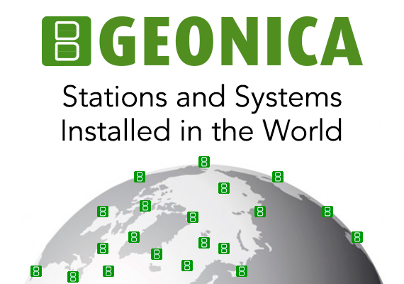


- Home / About us / Key Projects & Success Stories
Indian NIWE Solar Resource Assessment Network.
India selects GEONICA for National Solar Resource Assessment Network (Phase 1, Phase 2 and MEDA).
GEONICA is selected to supply >125 Automatic Measurement Stations SEMS-3000 (Phase 1, 2 and MEDA) for solar radiation resource assessment in India. The network is used by NIWE National Institute of Wind Energy Technology (formely C-WET), an autonomous R&D institution under the India Ministry of New and Renewable Energy.
The purpose of the network is to generate the “solar map” of India. Solar maps, showing real data of yearly solar radiation levels, are used to select location and design of solar power plants. Detailed historical data series are made available by NIWE as a commercial service.
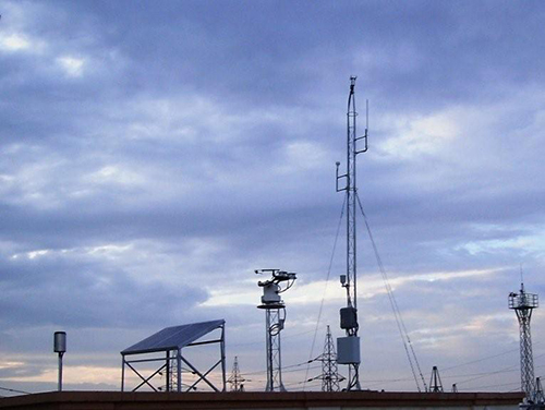
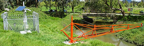
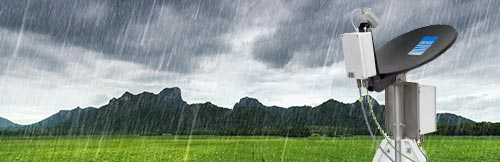
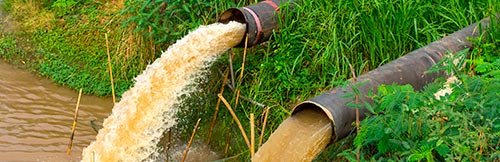
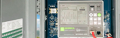
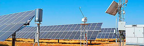
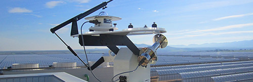
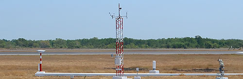
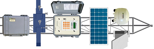
The network continuously monitors and stores nationwide solar radiation and weather parameters and communicates these to a Data Receiving Center (GEO-DRC) with redundancy located at NIWE Headquarters in Chennai. Each measurement station is equipped with high-accuracy meteorological sensors. More specifically, every station includes METEODATA Datalogger / Controller, SUNTRACKER-3000 and several solar radiation sensors, such as a Pyrheliometer mounted on the solar tracker, and two Pyranometers (one shaded for the measurement of Diffuse Radiation). Data is transferred via GPRS cellular network to the Data Receiving Center for analysis and final archiving. In Phase 2 there are also four “Advanced” Stations measuring Albedo Irradiance, Far Infrared Irradiance (Pyrgeometer) and AOD. Real-time data is also available in Internet by means of GEONICA WEBTRANS Ubiquitas Internet Platform.
Key to the selection of suppliers over competitors was a combination of factors:
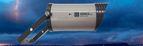
- Instruments with excellent technical specifications. These include a SUNTRACKER-3000 working at very low power with integrated on-board datalogging / transmission capabilities and real time data quality assurance by GEONICA and solar sensors with excellent temperature dependence and zero offset.
- The proven record in installation as well as after sales service and maintenance.
- A competitive price level.
Installation and commissioning of the Phase 2 and MEDA was carried out in September 2013 to February 2014. Phase 1 was completed in November 2011.
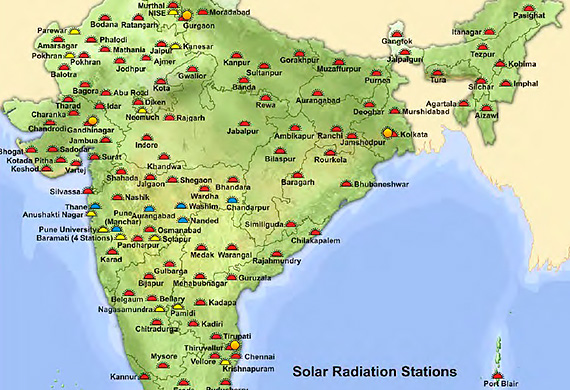
SUNTRACKER-3000 with shadow arm and disc, two Pyrheliometers and two Pyranometers. Each one of the Stations of Phase 1 Phase 2 (red points in the map) is measuring:
- Global Horizontal Irradiance (GHI)
- Direct Normal Irradiance (DNI)
- Diffuse Horizontal Irradiance (DHI)
- Wind Speed and Direction
- Ambient Temperature and Relative Humidity
- Atmospheric Pressure
Each one of the 4 “Advanced” Radiation Stations (blue points in the map) is measuring the above parameters plus the following ones:
- Albedo Irradiance (Albedometer)
- Far Infrared Radiation (Pyrgeometer)
- AOD (Sunphotometer)