Solar Resource Assessment
For Solar Resource Assessment and Solar Power Plants Monitoring, it is necessary to measure the three components of Solar Irradiance: The Direct Normal (DNI), the Global Horizontal (GHI), the Diffuse Horizontal (DHI), as well as the Global Normal (GNI) or the Global Tilted Irradiance (GTI).
- Home / Solutions / Solar Resource Assessment
Solar Energy Measurement for PV, CPV & CSP power plants
Technical solutions in the Solar Energy sector
The SEMS System constitutes the most advanced technical solution to measure all components of Solar Radiation:
- Direct Normal Irradiance (DNI)
- Global Horizontal Irradiance (GHI)
- Diffuse Horizontal Irradiance (DHI)
- Global Normal Irradiance (GNI)
- Global Tilted Irradiance (TGI)
- Direct Normal Spectral Irradiance (DNSI)*
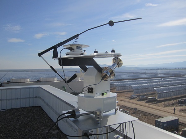
*Note: With the GEO-SSIM spectral sensor it is also possible to measure, in addition to the Direct Normal Spectral Irradiance, the Aerosol Optical Depth (AOD) as well as the Ozone and Water Vapor columns in the atmosphere.
To measure Direct Normal Spectral Irradiance (DNSI) it is required to use the GEO-SSIM model sensor. It constitutes the most advanced technical solution, unique in its kind, efficient and affordable, to measure Direct Normal Spectral Irradiance (DNSI) as well as the Direct Normal Irradiance (DNI) in quasi-real time, when mounted on our SUN TRACKER-2000/3000 Series solar tracker, as part of our SEMS Spectral System.
Apart from the classic solar sensors as the Pyranometers and Pyrheliometers, the SEMS System admits the connection of additional sensors for the measurement of other meteorological parameters or of another nature such as:
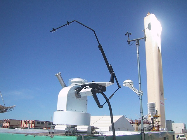
- Air temperature
- Relative humidity
- Wind speed and direction
- Atmospheric pressure
- Precipitation
- Albedo
- Dirt Index of the solar panels (soiling), etc.
The values of all these parameters are stored in the Datalogger of the SEMS System and are transmitted to a Data Reception Center or SCADA via GPRS / 3G / 4G links, Radio, Fiber optics, etc. or through satellite data transmission networks, with global coverage.
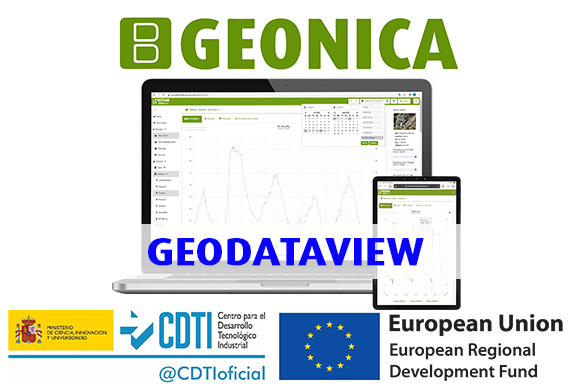
The GEO-DataView Software Package manages all communications, data transmission and remote programming, also creating a SQL database that collects all the information for later analysis and exploitation. This information can also be published on our WEBTRANS Ubiquitas Internet Platform, with universal accessibility of the data for authorized users.


