


Hydro-Meteorology
Since 1974, GEONICA designs and manufactures a complete line of Automatic Meteorological Stations (AWS) as well as Automatic Hydrological Station (AHS), of very low power consumption, based on the Dataloggers and Data Acquisition and Transmission Unit METEODATA / HYDRODATA Series.
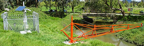
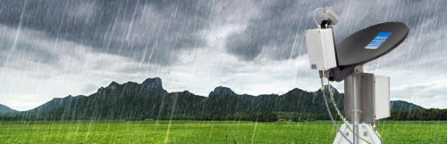
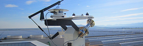
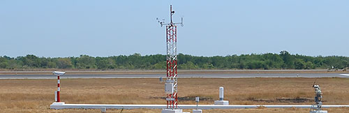
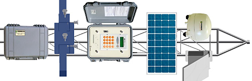
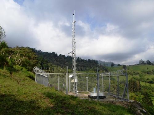
*Image: Autonomous Hydro-Meteorological Station, with RADAR sensor for water level of the river, plus measurement of precipitation, temperature, humidity and solar radiation, with data transmission via Inmarsat satellite.
- Home / Solutions / Hydro-Meteorology
Hydro-Meteorology
Automatic Meteorological and Hydrological Stations
Since 1974, GEONICA has been designing and manufacturing a complete line of remote, very low-power Automatic Weather Stations (AWS), and Automatic Hydrological Stations (AHS) based on the METEODATA / HYDRODATA Series of Dataloggers and data and images Transmission Units, with an accredited history of efficiency and reliability.
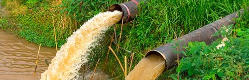
Our Automatic Meteorological Stations or Automatic Hydro-Meteorological Stations are ready to measure all meteorological and hydrological parameters, such as precipitation, air temperature, relative humidity, dew point, atmospheric pressure, wind speed and direction, solar radiation, etc., as well as water level, speed, currents and water flow in rivers.
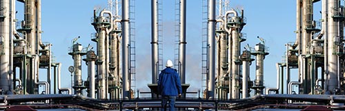
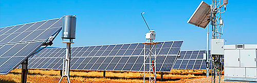
Given the extremely low energy consumption of GEONICA solutions, it is possible to install our Automatic Hydro-Meteorological Stations in remote, unattended sites. The energy supply is carried out by means of an internal battery pack with a charge regulator, complemented by a small external recharging solar panel, which provides total autonomy. The stations can also be powered directly from the electrical network if the site has the corresponding connection.
GEONICA offers a wide range of telemetry options for data transmission through a GPRS / 3G/4G cellular telephone network, via Point-to-Point or Point-to-Multipoint Radio, as well as via Satellite (INMARSAT BGAN, INSAT, VSAT, IRIDIUM, etc.). This also makes it possible to offer mixed solutions and optional redundancy, in such a way that communications are guaranteed in crucial projects such as, for example, alarm and Early Warning Systems and Networks for flash floods and heavy rains (EWS).
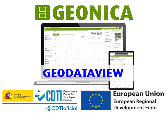
Our advanced GEO-DataView Software Package installed in the Data Reception Center (DRC) manages all communications for any number of remote measurement stations that make up a complex network, as well as the remote programming and data transmission, creating a data base in SQL format for further analysis and data processing.
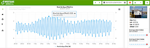
Our WEBTRANS Ubiquitas Internet Platform (WEB Publication Application) is also available. It presents the data in graphical and numerical format, allowing users to access through the Internet all the information transmitted by the remote stations to the Server. The Ubiquitas Internet Platform can be programmed to update data and graphical information at programmable periods of time.
In addition, it is always possible to directly interrogate remote stations at any time, as well as to request instant data in real time.
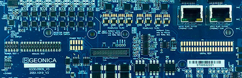
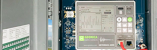
Dataloggers Serie 4000
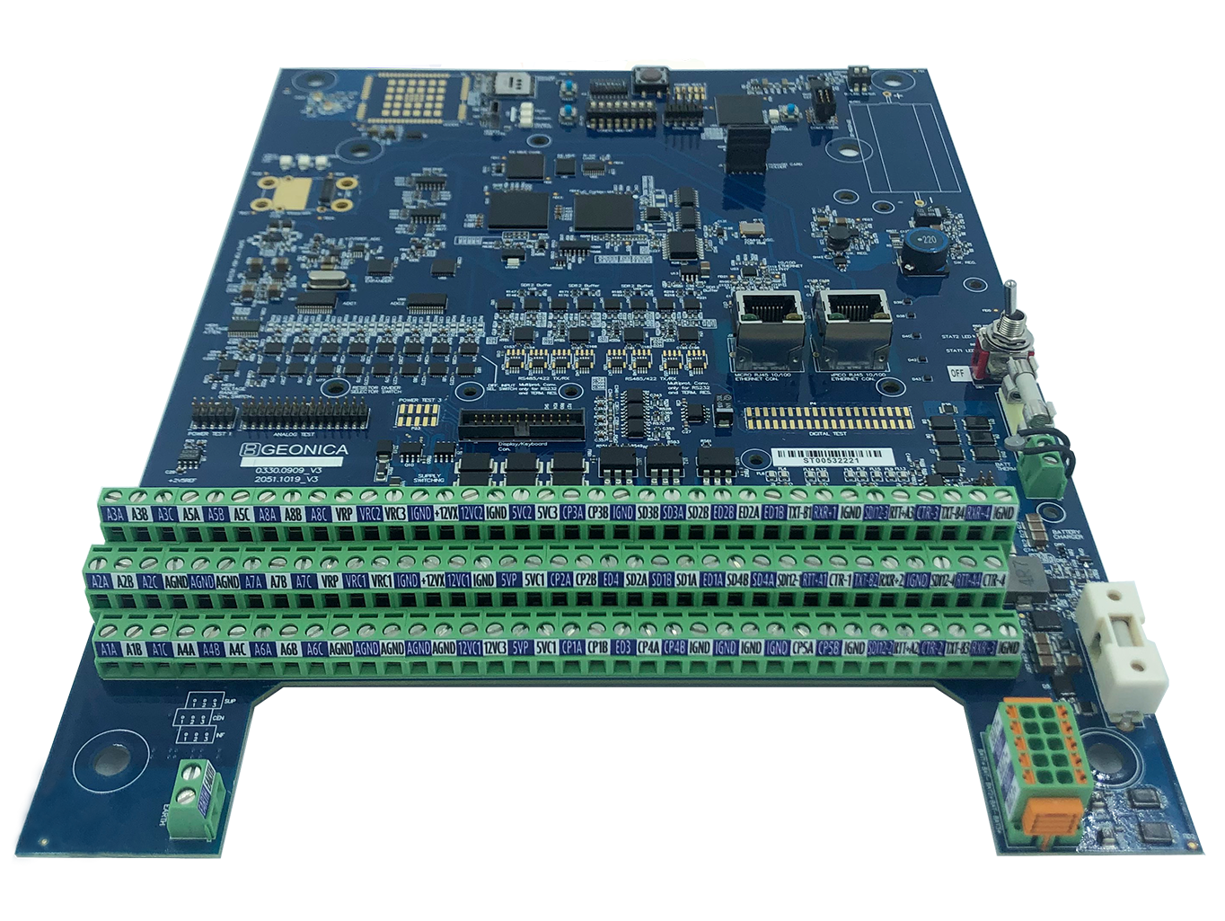
Dataloggers Serie 4000
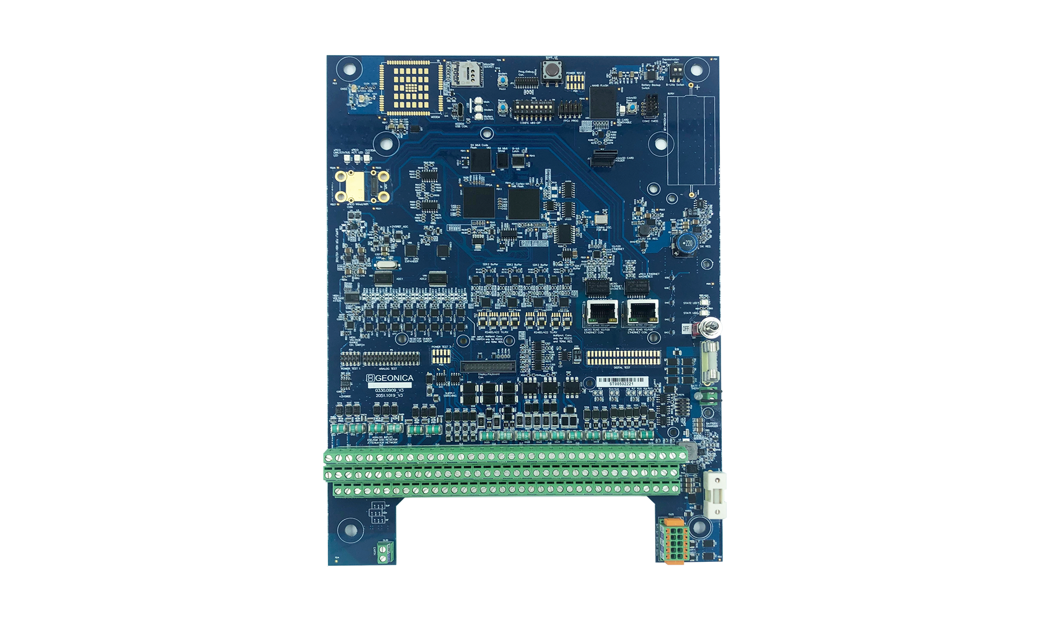
Dataloggers Serie 4000