


Road Weather Information
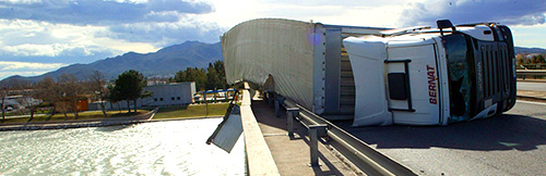
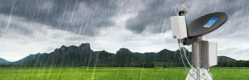
RWIS Road Weather Information System, offers precise meteorological and environmental data and pavement status conditions, essential to improve road safety, as well as to optimize the operation and maintenance of roads and highways.
- Home / Solutions / Road Weather Information
Road Weather Information
Our SAFE ROAD System is a Road Weather Information Solution (RWIS) which offers precise meteorological and environmental data for road safety, operation and maintenance.
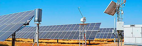
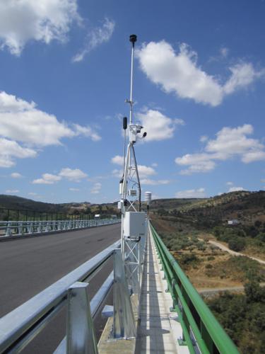
SAFEROAD System is a Road Weather Information Solution (RWIS) developed by GEONICA for monitoring in real time the current meteorological and pavement conditions on roadways and motorways. This information is critical to carrying out road maintenance tasks as well as to contribute to improving road safety on highways.
In particular, the SAFEROAD system (RWIS) offers information on the following critical environmental conditions or those of special interest, due to the risk they represent for road safety:
- Black ice or refreezing of moisture
- Ice or snow formation
- Frost on bridges
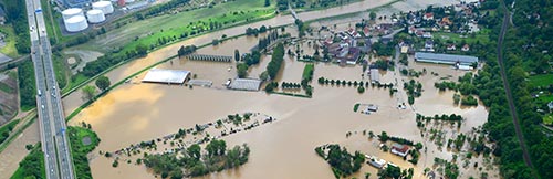
- Depth of water or snow
- Friction or grip
- Chemical concentration and freeze point of solution on the pavement surface
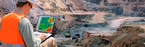
All this information is also frequently made available to meteorologists to facilitate the adjustment of predictive models capable of offering short or medium-term predictions with great reliability. GEONICA can offer these predictive services as a complement to the measurement system itself.
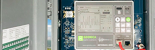
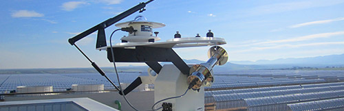
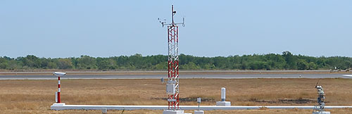
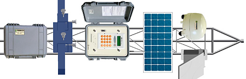
The SAFE ROAD System consists on a network of Remote Environmental Measurement and Monitoring Stations as our datalogger METEODATA series, located along the interesting sections of the roads and highways. Each station admits the connection of the sensors necessary for the measurement of the following parameters:
Meteorological and environmental data:
- Visibility and present weather
- Wind speed and direction
- Precipitation type and intensity
- Air temperature and Relative Humifity
- Atmospheric pressure
- Lightning and storms
- Pollution and air quality
Pavement conditions:
- Pavement and soil temperatures
- Freezing point of the surface
- Condition of the pavement as wet, icy, flooded.
- Chemical concentration of ice fluxes on the pavement
Other data:
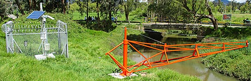
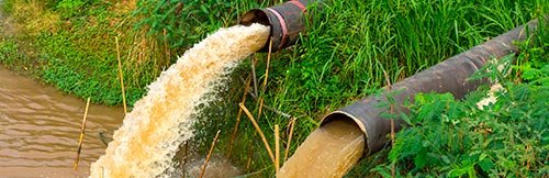
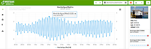
- Water level in streams or rivers near roads
- Accumulation of snow
- Environmental Noise
All the information generated by the network of stations is transferred through GPRS / 3G / 4G, Radio, Satellite or through a physical fiber optic link to the Central Station, in which the data is processed by means of specific software.
GEONICA's SAFE ROAD System (RWIS) data communications are supported by different standard communications protocols, such as NTCIP, DGT, etc.
Road Weather Information related Systems
Dataloggers Serie 4000

Dataloggers Serie 4000
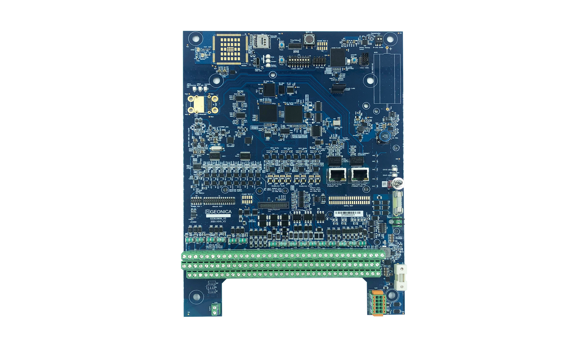
Dataloggers Serie 4000