


- Home / About us / Key Projects & Success Stories
Tide gauge network of Peruvian Navy.
CLIENT: Hydrography and Navigation Directorate (HIDRONAV) of the Peruvian Navy.
SECTOR: Oceanography and Mareography.
PROJECT: COUNTRY' S NETWORK OF TIDE GAUGES.
OBJECTIVE: To provide the Nation with a system for recording, storing, transmitting and monitoring tidal altitude levels along all coasts.
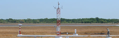
SCOPE: Ten (10) Tideograph systems with built-in color still image cameras and one (1) Network Control Center.
DIRECTION OF HYDROGRAPHY AND NAVIGATION (HYDROGRAPHIC) OF THE PERUVIAN NAVY
The Directorate of Hydrography and Navigation (HIDRONAV) depends on the Peruvian Navy. Its foundation dates back to 1903 and since then, under various names, HIDRONAV has continued to work on carrying out the functions entrusted to it in the fields of hydrography, nautical cartography, geomatics and physical oceanography; maritime meteorology and nautical signposting; fulfilling at the same time the postulates of commitment, loyalty and service bequeathed by our predecessors and in constant benefit of the Navy and the socioeconomic development of Peru.
MISSION
The mission of the Directorate of Hydrography and Navigation is to administer, operate and investigate activities related to environmental sciences in the aquatic field, with the aim of contributing to national development, providing support and safety in navigation to Naval Units and navigators in general and contributing to the achievement of institutional objectives.
PROJECT OBJECTIVES
- Provide the coast of Peru with a tide gauge network for recording the actual tide height at each of the selected sites.
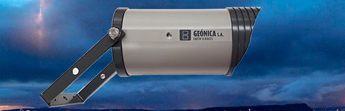
- Have a DIGICAM® camera available in each of the network locations for image capture and storage.
- Storage of these records for later study at both the Station and Control Center levels.
- Transmission of these data in real or quasi real time.
- Provide the HIDRONAV with a Prevention and Early Warning System against possible natural oceanographic catastrophes.
TECHNOLOGY SOLUTION IMPLEMENTED
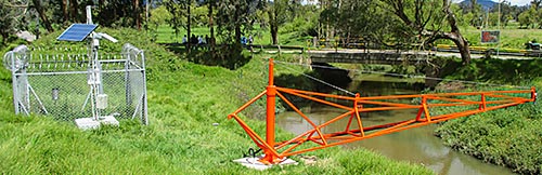
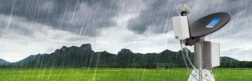
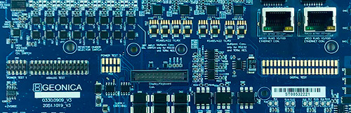
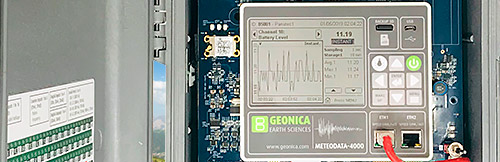
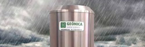
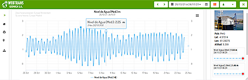
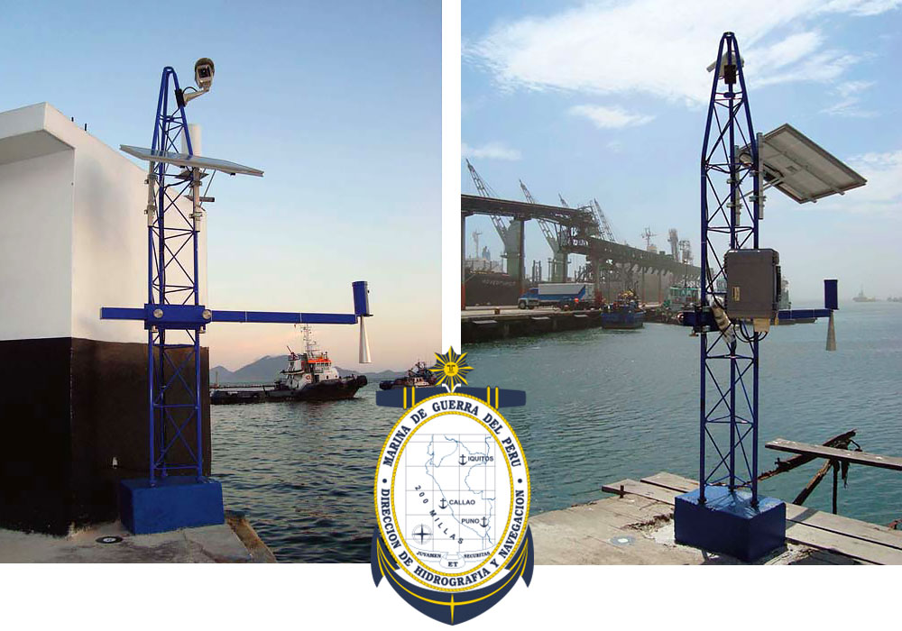
Ten (10) RADAR tide gauges model DATAMAR-2000/3000® designed by GEONICA S. A. are installed based on the most modern electronic technology. The DATAMAR-2000/3000® System represents the ideal solution for measuring, recording and transmitting sea level data, not only for its high performance and advanced technical characteristics, but also for its great versatility and low cost.
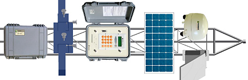
Each of the DATAMAR-2000/3000® Tideograph Network Stations consists of three (3) main elements, namely:
a) The level sensor based on 26 GHz RADAR technology.
b) The Data Measurement, Recording and Transmission Unit 2000/3000.
c) A DIGICAM® model camera for image capture and storage. The DATAMAR2000/3000® is thus a compact and autonomous system, powered by internal batteries that can be recharged by means of a solar panel and/or grid connection, which does not require the use of any computer or local PC, since it already has all the necessary elements to sample the measurement signal, digitise this signal, record the data in its own internal memory of 64 MBytes, as well as to transmit the data, in real-time or later, to the HIDRONAV installations, with the possibility to diffuse the information through the Internet.
ADVANTAGES OF THE SOLUTION
- Level measurements every second (1 Hz).
- Real time and delayed data transmission to the HIDRONAV Control Center.
- Accuracy of 1 mm for average values.
- High memory capacity in the stations (64 MBytes) with several months of autonomy for averaged data.
- Possibility of access to the records by Internet (Web Posting).
- Automatic clock synchronization via optional internal GPS receiver if required.
- Scalable System in number of Stations: The network admits an unlimited number of Stations a priori.
- Scalable System in Sensors per Station: Each station admits other sensors to obtain other relevant data (Meteorological, Oceanographic...).
PRESENT SITUATION
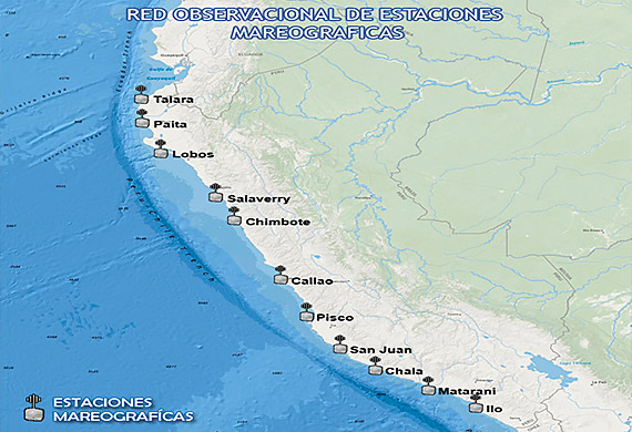
The coast of Peru is covered by having ten (10) seaside stations in (from north to south):
- La Cruz - Department of Tumbes.
- Talara - Department of Piura.
- Paita - Department of Piura.
- Salaverry - Department of La Libertad.
- Chimbote-Department of Ancash.
- Callao - Department of Lima.
- Pisco - Department of Ica.
- San Juan de Marcona - Department of Ica.
- Matarani - Department of Cochabamba.
- Ilo - Department of Moquegua.
- 01/10/2015
- PDF Document