


TELETRANS-W4K
SOFTWARE
Communications tool to send commands and to request and download data from METEODATA / HYDRODATA stations to PCs.
- Home / Products / Management Software / TELETRANS-W4K SOFTWARE
TELETRANS-W4K SOFTWARE
Communications and station management tool
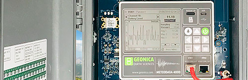
The Teletrans-W4K software is part of Geo-DataView, the newest generation of the software package designed by GEONICA to communicate with the METEODATA / HYDRODATA stations and then store, process, display, and monitor the data received from them.
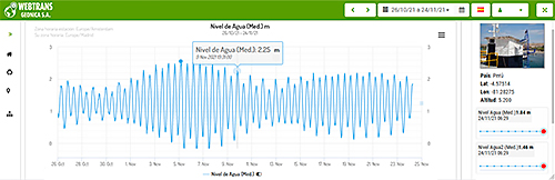
Teletrans-W4K is a communications tool to request and download data from METEODATA / HYDRODATA stations to PCs and send commands: set time, change operating parameters, remote diagnostic tests, update firmware, calibrate, request images, etc.
It is an application designed to manage remote stations:
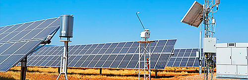
- Remote communication and management of networks with many stations.
- Data downloaded automatically from stations into SQL database.
- Supports a wide variety of telecommunication systems: GSM, GPRS, 2.5G/3G/4G/5G, Wi-Fi, WiMAX, Fibre Optic, Ethernet, Radio, RS-232, RS-485, USB, Satellite (Inmarsat, Thuraya, Iridium, etc.), IoT networks, MQTT, LORA, ZigBee, etc.
- Automatic download of connection diagram with sensors for each station.
- Automatic download of the station’s MODBUS map.
- Interactive station configuration: new 'Drag and Drop' sensors can be added from the on-line sensor library.
- Tasks executed automatically.
- Fully automatic and unattended operation.

Products related to TELETRANS-W4K
App Geo-DataLink
Teletrans Software
WEBTRANS-4K Cloud Service
WEBTRANS-4K Ubiquitas
Contact info@geonica.com / technicalsupport@geonica.com to request a use license, download link, etc.
Dataloggers Serie 4000
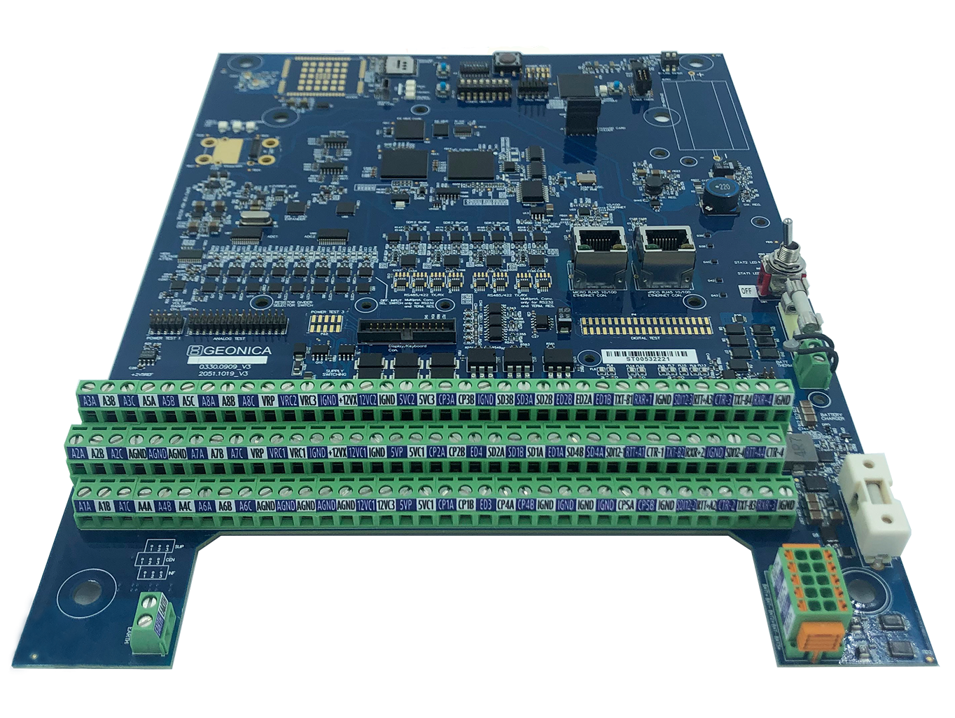
Dataloggers Serie 4000
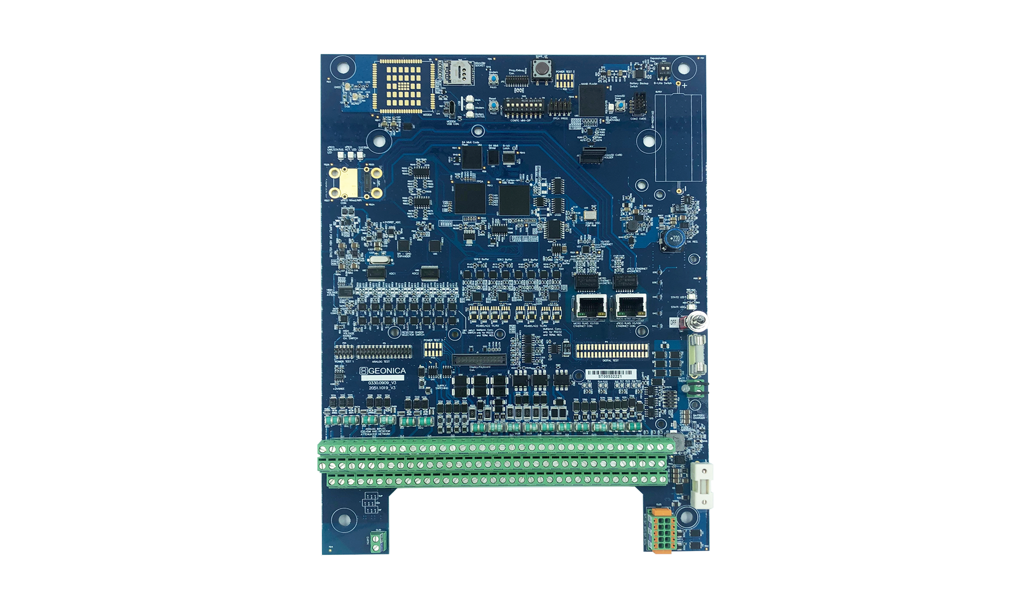
Dataloggers Serie 4000